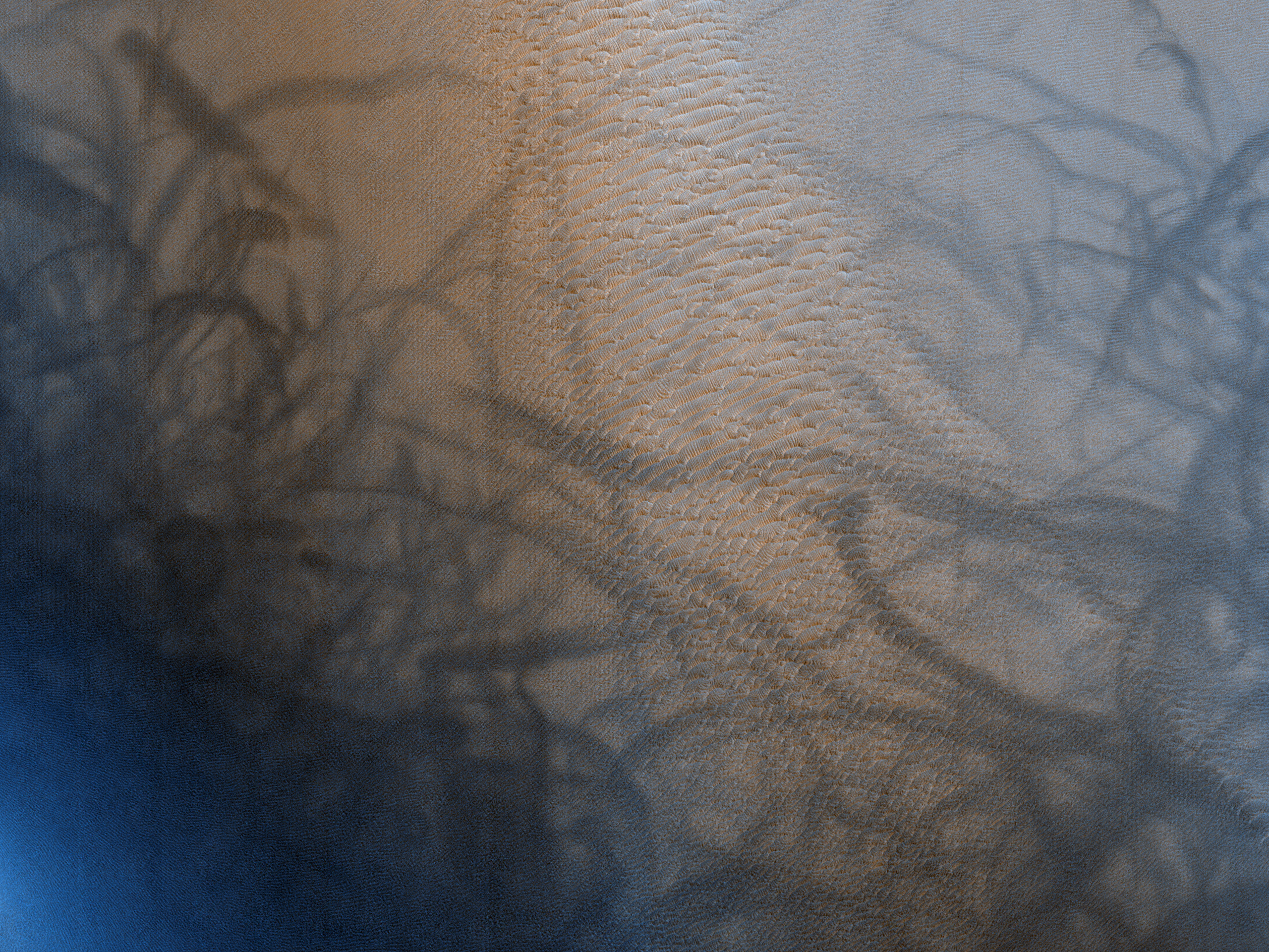
There are many overlapping and competing geologic processes acting on the surface of Mars today. One area where this is most clearly illustrated is a small crater north of Antoniadi Crater.
A digital terrain model was constructed of this site, which allowed all images to be corrected in a way to more easily identify and track changes (e.g., sand dunes, wind streaks).
In this image, we see a number of deposits that collectively form a large star-shaped megadune, just over 500-meters tall. Brighter surfaces of red Martian dust are vacuumed up by dust devils, leaving behind darker tracks that
change dramatically over time. Over the Martian year, the surface changes in brightness as dust falls from the atmosphere. The dust is removed during windier portions of the year by sand ripples and dust devils. (Note the greatest change occurs at the end of the animations in Mars year 34 (MY34) and the period following the planet-encircling dust storm that occurred in mid-2018.)
In this animation (bottom of the sequence) we can view four of the smaller duneforms and their steepest slopes facing to the south. These “slip faces” are broadly perpendicular to the primary winds, indicating the dunes are slowly migrating south to south-southeast.
At the finest scale,
a third animation reveals a single slip face where dark streaks are traces of meter-scale sand avalanches that indicate that the landform is currently active and moving. These types of sand streaks which seemingly form, fade, and then reappear have been described as recurring slope lineae (RSL) and
have been observed elsewhere, including steep rocky cliffs without sand dunes. HiRISE is continuing to monitor dynamic locations like this to better understand how landscape evolution on Mars differs from that of Earth.
ID:
ESP_023261_2065date: 14 July 2011
altitude: 287 km
https://uahirise.org/hipod/ESP_023261_2065
NASA/JPL-Caltech/University of Arizona
#Mars #science #NASA
