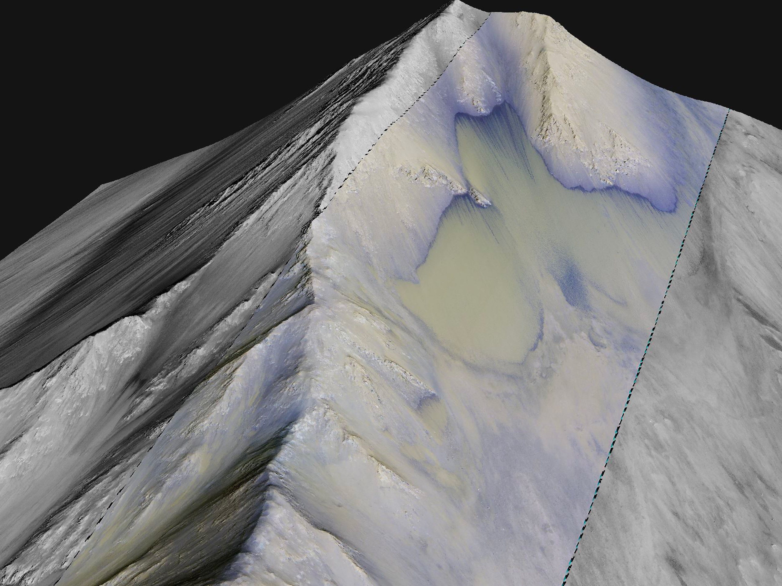
This digital terrain model was constructed to better characterize the phenomena called recurring slope lineae (RSL), which were originally hypothesized
to be water seeps (see animation). New findings by HiRISE science team members have found alternative evidence that RSL
are caused by dry granular flows. Future efforts by HiRISE team will continue to test these two competing hypotheses for these enigmatic flows.
This image shows a perspective view using the DTM topography and a stereo image. (The infrared-red-blue color strip is about 800 meters wide.
Other areas show poorly understood sandy landforms that migrate up the RSL fan (in between the RSL). The view looks upslope to the south.
Written by: Matthew Chojnacki
dtm details:
ESP_034619_1670date: 15 December 2013
altitude: 263 km
https://uahirise.org/hipod/ESP_034619_1670
NASA/JPL-Caltech/University of Arizona
#Mars #science #NASA
