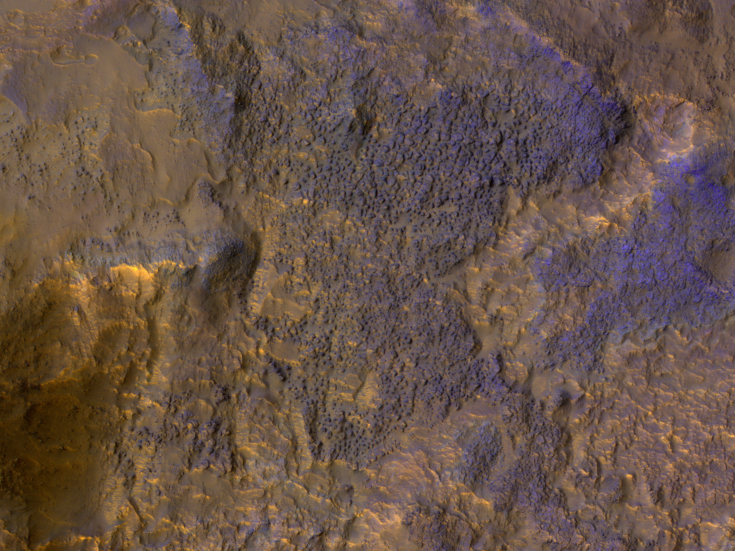
This image shows chaos terrain on Mars’ equator. Especially interesting are bedrock exposures, which provide information about the geologic history of Mars.
When HiRISE acquired this image in 2018, we had not been allowed to acquire off-nadir targeted observations for a couple of months due to MRO spacecraft issues, so many high-priority science objectives were on hold. (Nadir refers to pointing straight down.) What can be usefully accomplished in nadir mode is sampling of various terrains.
ID:
ESP_054635_1800date: 23 March 2018
altitude: 272 km
https://uahirise.org/hipod/ESP_054635_1800
NASA/JPL-Caltech/UArizona
#Mars #science #NASA
