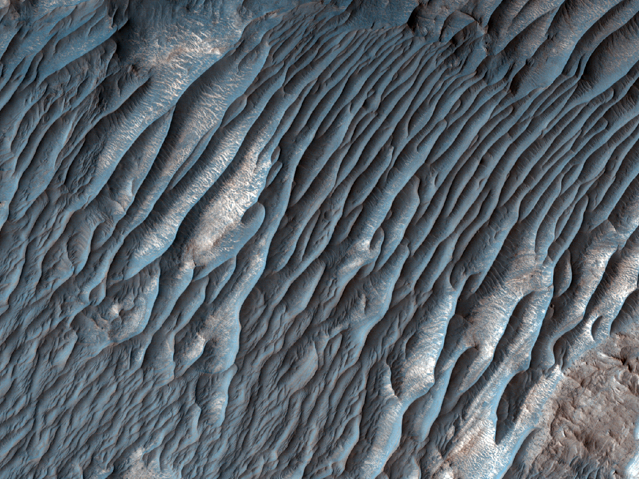
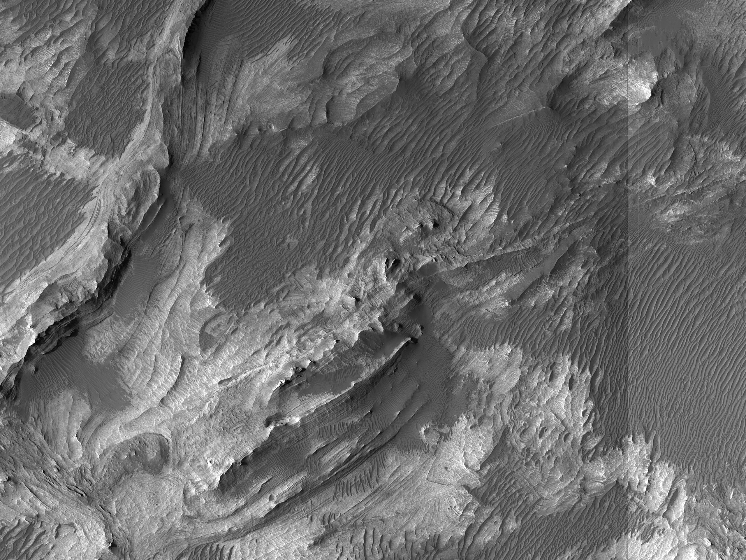
This image shows possible landslide-related faults within the layered rocks on the floor of west Candor Chasma. These features might explain the pervasive deformation of the layered strata along the north wall of the chasma. A digital terrain model can also help to analyze the fault structure.
ID:
ESP_064540_1750date: 3 May 2020
altitude: 260 km
https://uahirise.org/hipod/ESP_064540_1750
NASA/JPL-Caltech/University of Arizona
#Mars #science #NASA

