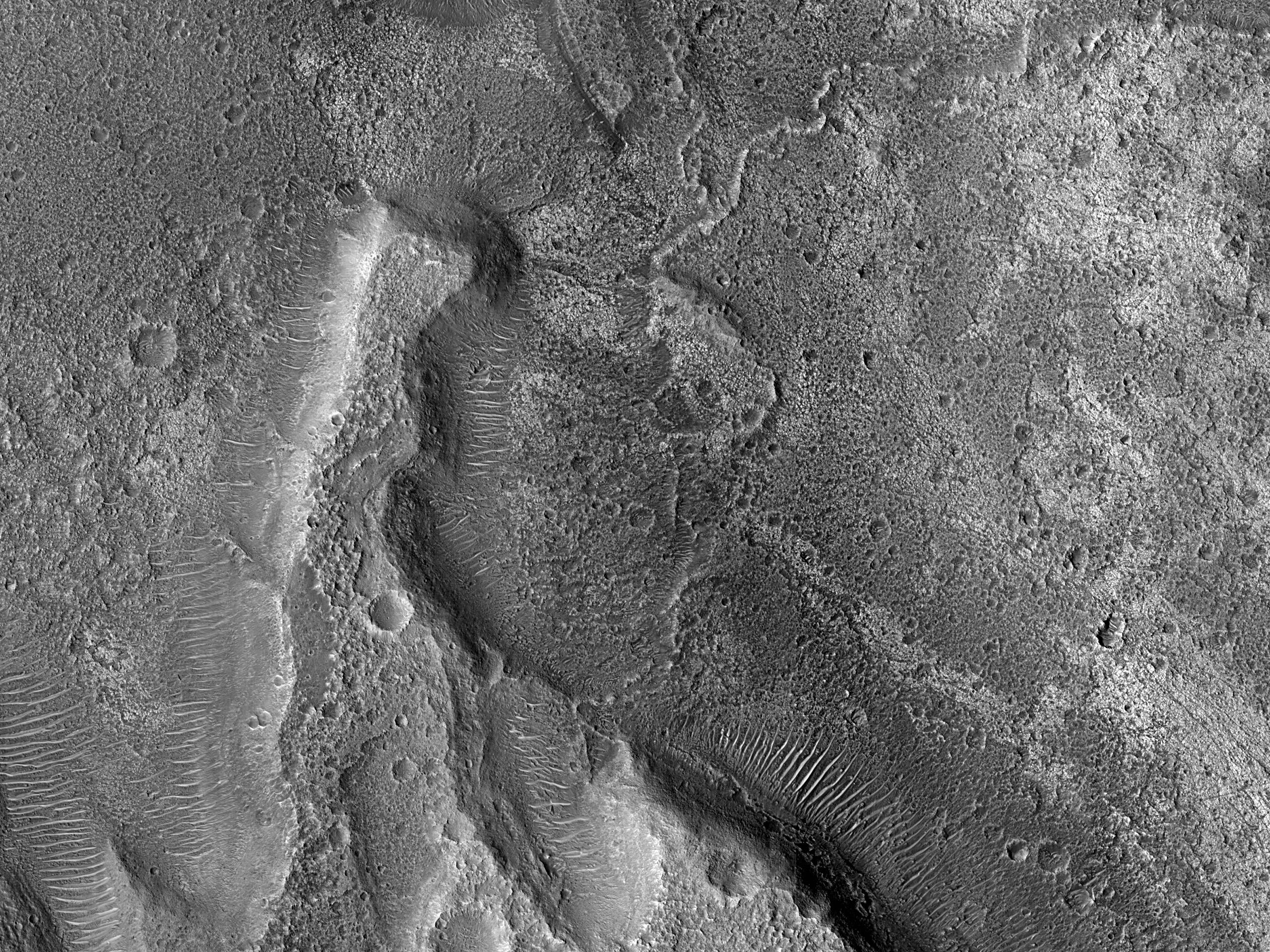
An image request from our public targeting tool HiWish: “A HiRISE image is required to study tectonic deformation of Ares Vallis. A HiRISE digital terrain model can show the angle of fault plains. It is important to understand the degree of deformation to determine elevation changes across the region.”
ID:
ESP_073639_1950date: 12 April 2022
altitude: 279 km
https://uahirise.org/hipod/ESP_073639_1950
NASA/JPL-Caltech/University of Arizona
#Mars #science #NASA
