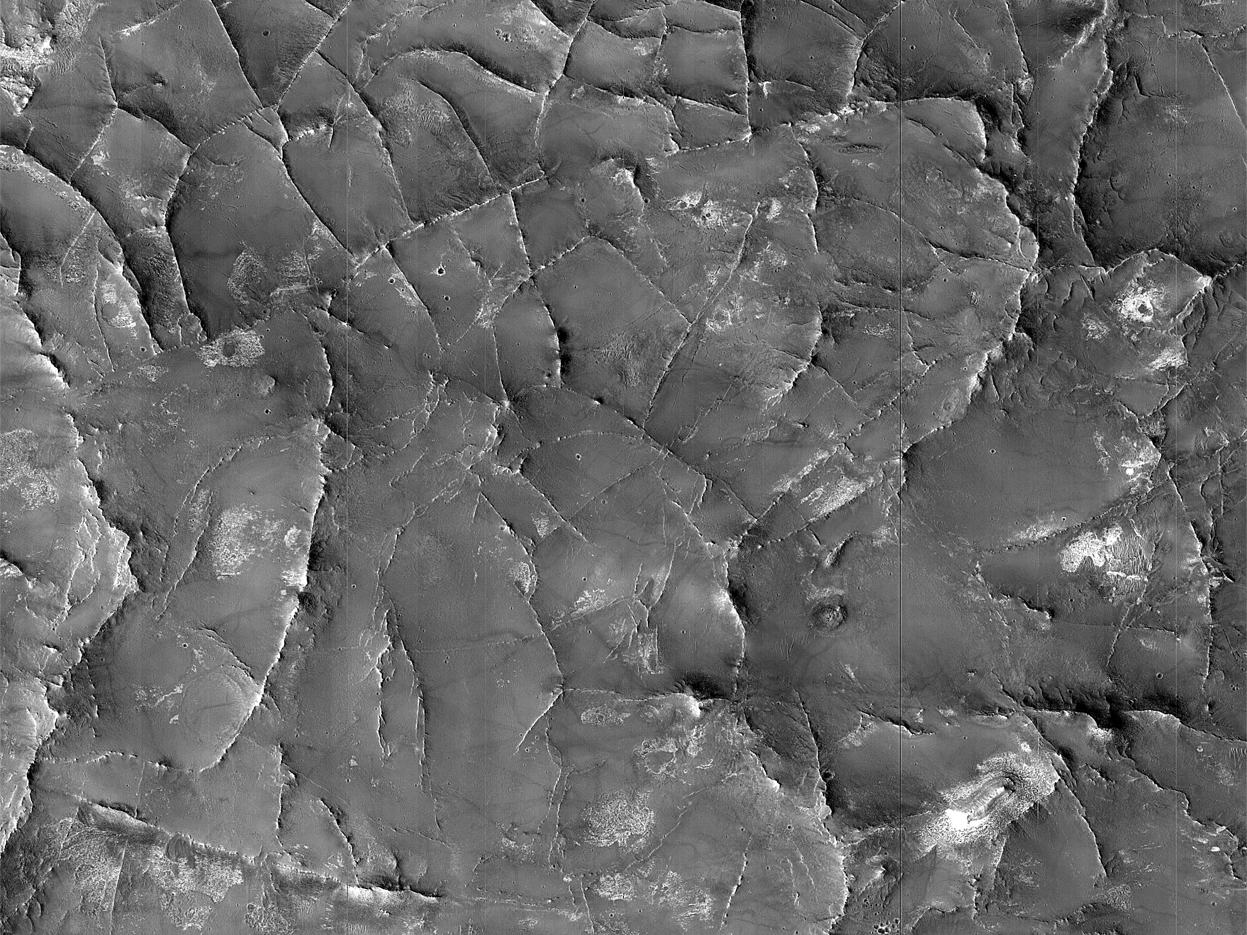
With this observation, we want to study the relationship between layered sulfates in northeast Syrtis and paleotopography: was it draping or progressive submergence of land by an advancing sea? (This is also known as “onlap.”) HiRISE resolution can help to trace layers and fit bedding orientations.
ID:
ESP_074479_1970date: 16 June 2022
altitude: 277 km
https://uahirise.org/hipod/ESP_074479_1970
NASA/JPL-Caltech/University of Arizona
#Mars #science #NASA
